|
Updated: @
14-Apr-2020 1:55pm - next update at 2:00pm
|
| Summary / Temperature |
Wind |
Rain
|
Outlook |

|
Day time
|

|
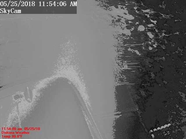
Outside
88.0°F

Feels:
103°F
24-hr difference
17.5°F
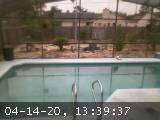
Indooors
Pool
87.6°F
High:
87.6°F
Low:
87.6°F
Observatory
|
| |
Today |
Yesterday |
| High: |
94.5°F
3:49pm |
94.8°F
4:01am |
| Low: |
47.1°F
8:21pm |
60.4°F
7:29am |
| NWS Records: |
98.1°F
1915 |
48.9°F
1929 |
|
|


|
S
3.3
Gust:
3.3 mph
|
|
2 Bft -
Light Breeze
|
|
Today:
17.0
8:08am
|
|
Gust Month: 25.3
Apr 5
|
|
| Rain Today: |
0.00 in
|
| Rain Rate (/hr): |
0.00 in
|
| Rain Yesterday: |
0.000 in
|
| This Month: |
0.039 in
|
| Season Total: |
0.130 in
|
|
23 days since last rain. |
|
|
| Humidity & Barometer |
Almanac |
Moon |
| Humidity: |
75 %
 |
| Hi Humidity: |
98 %
|
| Barometer: |
30.091 inHg
|
| Baro Trend: |
Falling slowly
|
|
| Sunrise: |
6:59am |
| Sunset: |
7:50pm |
| Moonrise: |
2:02am |
| Moonset: |
12:31pm |
|
|
Waning Gibbous |

|
52%
Illuminated
|
|
| Dew Point |
Apparent |
| Dew Point:
79.1 °F |
| Dew Hi:
87.7°F @
3:50pm |
| Dew Lo:
53.5°F @
2:48am |
|
| Apparent: |
95.8°F |
| Heat Index: |
103.1°F |
| Wetbulb: |
81.7°F |
|


 12:51:00