No earthquakes of magnitude 2.0 or greater within 1100 mi reported in last 7 days.
Map and data courtesy of United States Geological Survey.
Navigation
|
Cams & Radar | |
Sky ENE | |

Sky WSW | |

Pool View | |
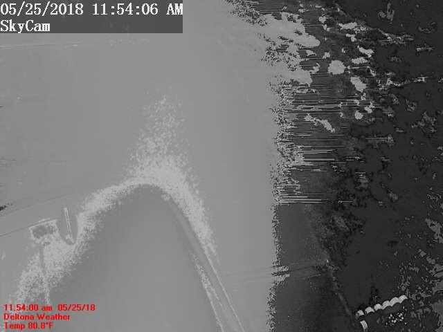
Deltona Radar | |
GRLevel3 Radar | |
|
SE Loop | |

Ozzee Cam | |

House Cam | |

RV Cam | |
|
Style Options |
No earthquakes of magnitude 2.0 or greater within 1100 mi reported in last 7 days.
Map and data courtesy of United States Geological Survey.